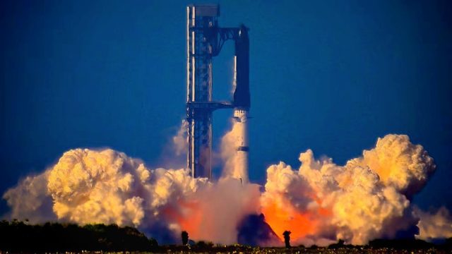









Sentinel-6B satellite is now in orbit and its mission to measure the sea level promises to revolutionize global hurricane forecasts. Launched from Vandenberg Space Force Base, California, this satellite is crucial for monitoring meteorological phenomena and coastal risk management, both in the United States and worldwide.
Why is the sea level important?
Sea level is a crucial parameter to understand how climate and flood risks evolve, affecting thousands of communities. According to the NASA, measuring the sea level with precision of up to an inch helps protect coastal systems, energy infrastructure, and real estate development. Moreover, sea level variations directly affect hurricane intensity and frequency, critical for the Caribbean and vulnerable areas like the Dominican Republic.
Technological innovation and international cooperation
Sentinel-6B is part of a collaboration between NASA, ESA, EUMETSAT, NOAA, and the European Union through Copernicus. Replacing Sentinel-6 Michael Freilich, a reference since 2020 in global sea level monitoring, its technology provides essential atmospheric and oceanic data to anticipate the formation and trajectory of severe storms, reinforcing safety, from port operations to the re-entry of astronauts from missions like Artemis.
Applications and benefits of sea level monitoring
- Provides vital information for hurricane forecasts.
- Optimizes coastal zone management and protection of critical assets.
- Contributes to the development of climate and marine sciences.
- Benefits sectors like transportation and fishing through real-time data.
Impact for the Caribbean and the Dominican Republic
Sea level monitoring enables the strengthening of early warning systems in nations like the Dominican Republic. According to meteorology experts, anticipating increases in the sea level is vital to create resilience strategies against extreme climate events, such as more frequent and powerful hurricanes in the Atlantic. More information on hurricane prediction and its local impact is available in our analysis on hurricanes in the Dominican Republic.
The future of sea level observation
Sentinel-6B satellite marks an essential advance in sea level surveillance and the development of more precise meteorological and oceanographic prediction methods. For official details of the mission, please consult the NASA website.
It is evident that investing in technology to measure the sea level represents an indispensable tool to face future challenges of climate change, coastal security, and hurricane threats, topics in constant development on orgullodominicano.org.